The Best Nature reserve Photo Spots around Mount Currie in Canada
Explore Nature reserve pictures of Mount Currie with the travel spots on a map
Download the Travel Map of Canada on Google Maps here
10 Nature reserve Spots of Mount Currie on a Map
Pictures of Nature reserve on the interacive map of Mount Currie
Download On Google Maps 🗺️📲Nature reserve Spots and Pictures around Mount Currie
Discover popular destinations in Mount Currie with their travel guides
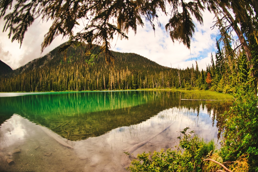
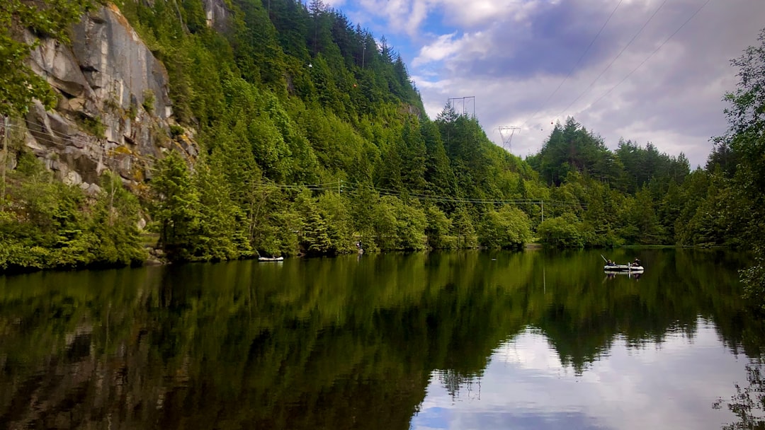
Joffre Lakes Trail
Read the Travel guide View on Google Maps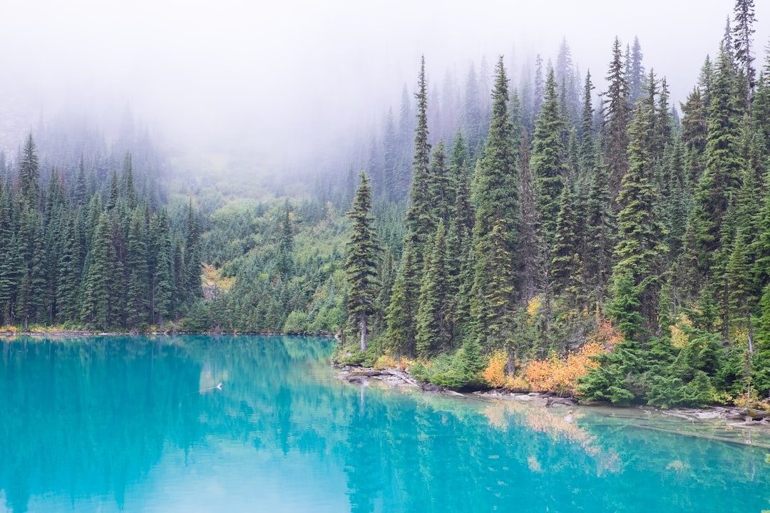
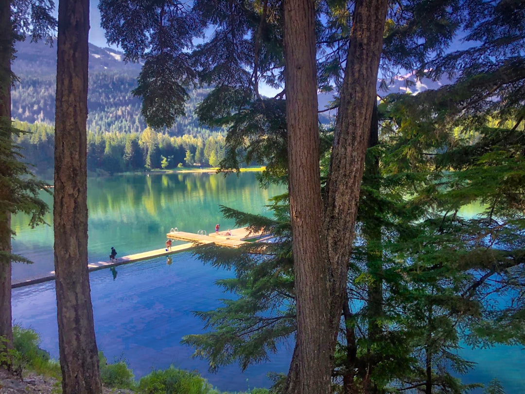
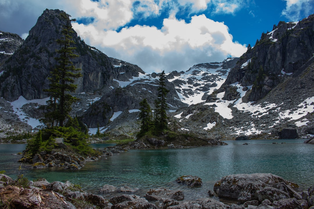
Joffre Lakes Provincial Park
Read the Travel guide View on Google Maps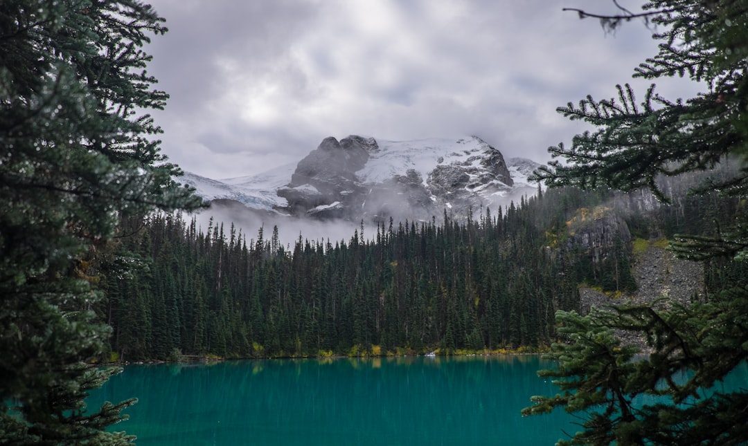
Bus Shelter Southbound Pemberton Creekside
23 km away from Mount Currie
Read the Travel guide View on Google Maps
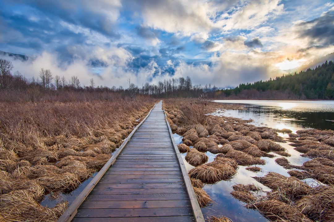
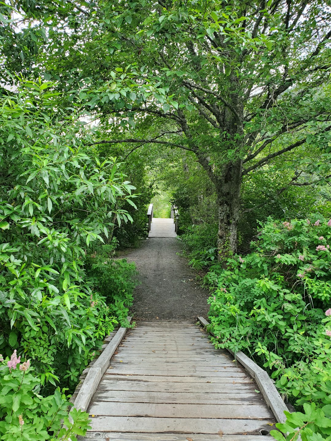
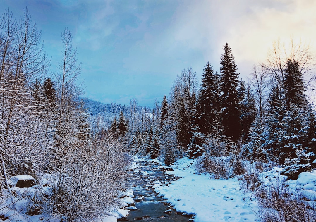
One mile lake
23 km away from Mount Currie
Read the Travel guide View on Google Maps
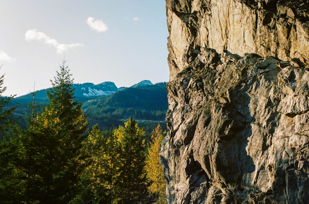
Unnamed Road
23 km away from Mount Currie
Read the Travel guide View on Google Maps
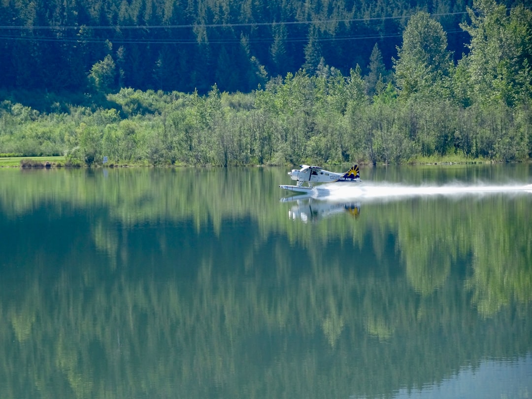
Whistler
43 km away from Mount Currie
Read the Travel guide View on Google Maps
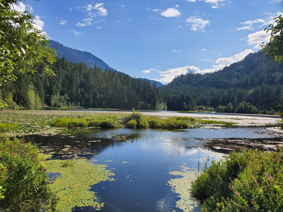
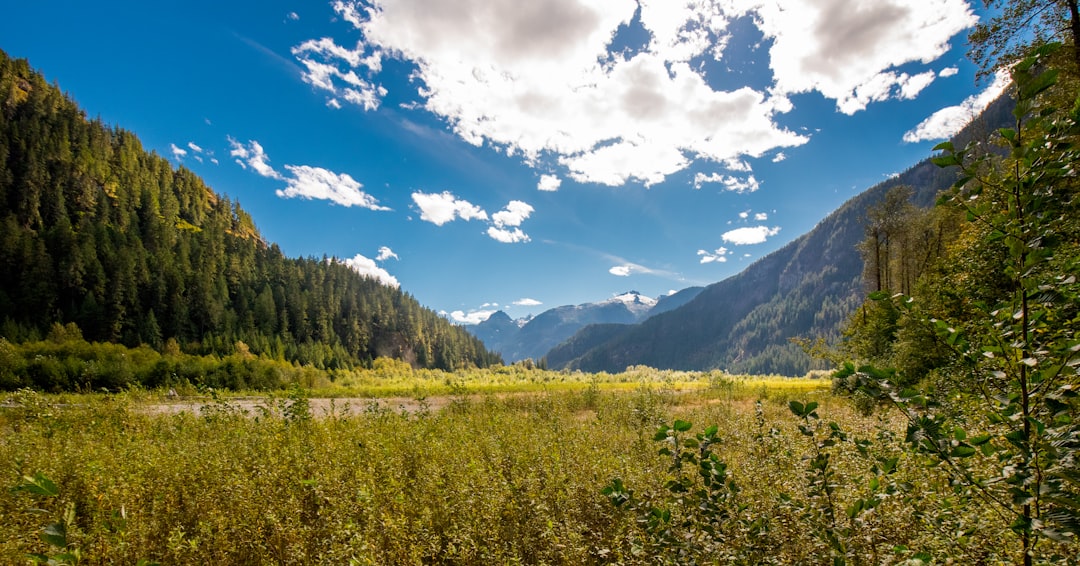
Squamish River
76 km away from Mount Currie
Read the Travel guide View on Google Maps
Watersprite Lake
76 km away from Mount Currie
Read the Travel guide View on Google Maps
Squamish
87 km away from Mount Currie
Read the Travel guide View on Google Maps
Murrin Provincial Park
94 km away from Mount Currie
Read the Travel guide View on Google Maps
Book your Travel Experience in Mount Currie
Discover the best tours and activities in Mount Currie and book your travel experience today with our booking partners
Learn More about Mount Currie
Find Hotels in Mount Currie
Discover the best hotels around Mount Currie, Canada and book your stay today with our booking partner booking.com